
Tembagapura topographic map
Interactive map
Click on the map to display elevation.
Tembagapura
Tembagapura is situated on a rocky plain at an altitude of 1,930 metres (6,330 ft) at the base of Mount Zaagkam, which lies 16 kilometres (9.9 mi) southeast of the mine. The town is in the Sudirman Range, not far from Puncak Jaya (Mount Carstens), the highest peak in Oceania. The area gets about 3,220 millimetres (127 in) of rainfall each year. The weather is usually sunny in the morning, changing to cloudy and cool around noon.
About this map
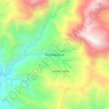
Name: Tembagapura topographic map, elevation, terrain.
Average elevation: 2,488 m
Minimum elevation: 1,344 m
Maximum elevation: 4,062 m
Other topographic maps
Click on a map to view its topography, its elevation and its terrain.