
Irwon bon-dong topographic map
Interactive map
Click on the map to display elevation.
About this map
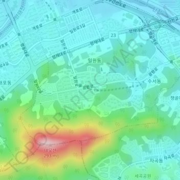
Name: Irwon bon-dong topographic map, elevation, terrain.
Location: Irwon bon-dong, Ojeong-gu, South Korea (37.47479 127.07302 37.49128 127.09907)
Average elevation: 69 m
Minimum elevation: 10 m
Maximum elevation: 271 m