
Anajpur topographic map
Interactive map
Click on the map to display elevation.
About this map
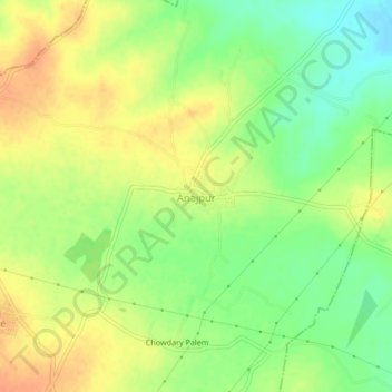
Name: Anajpur topographic map, elevation, terrain.
Location: Anajpur, Raipole mandal, Siddipet, Telangana, 502114, India (17.92920 78.63175 17.96920 78.67175)
Average elevation: 543 m
Minimum elevation: 522 m
Maximum elevation: 561 m
Other topographic maps
Click on a map to view its topography, its elevation and its terrain.