
Tábara topographic map
Interactive map
Click on the map to display elevation.
About this map
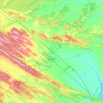
Name: Tábara topographic map, elevation, terrain.
Location: Tábara, Zamora, Castille-et-León, 49140, Espagne (41.78772 -6.15204 41.89817 -5.87954)
Average elevation: 794 m
Minimum elevation: 673 m
Maximum elevation: 1,042 m