
Arrifana topographic map
Interactive map
Click on the map to display elevation.
About this map
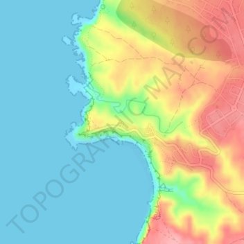
Name: Arrifana topographic map, elevation, terrain.
Location: Arrifana, Aljezur, Faro, 8670-111, Portugal (37.29235 -8.87677 37.30273 -8.85937)
Average elevation: 39 m
Minimum elevation: 0 m
Maximum elevation: 110 m
Other topographic maps
Click on a map to view its topography, its elevation and its terrain.