
Champagne topographic map
Interactive map
Click on the map to display elevation.
About this map
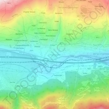
Name: Champagne topographic map, elevation, terrain.
Location: Champagne, Verrayes, Vallée d'Aoste, Italie (45.72417 7.50498 45.76417 7.54498)
Average elevation: 740 m
Minimum elevation: 466 m
Maximum elevation: 1,298 m