
Қарқара topographic map
Interactive map
Click on the map to display elevation.
About this map
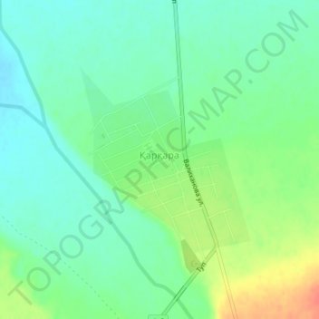
Name: Қарқара topographic map, elevation, terrain.
Location: Қарқара, Kegen District, Almaty Region, 041414, Kazakhstan (42.88440 79.22937 42.90004 79.24906)
Average elevation: 1,913 m
Minimum elevation: 1,896 m
Maximum elevation: 1,944 m