
جنعورة topographic map
Interactive map
Click on the map to display elevation.
About this map
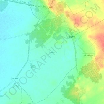
Name: جنعورة topographic map, elevation, terrain.
Location: جنعورة, معتمدية قبلي الشمالية, Kébili, Tunisia (33.63483 8.93807 33.71101 8.99306)
Average elevation: 35 m
Minimum elevation: 20 m
Maximum elevation: 69 m
Other topographic maps
Click on a map to view its topography, its elevation and its terrain.