
Spaans Lagoen topographic map
Interactive map
Click on the map to display elevation.
About this map
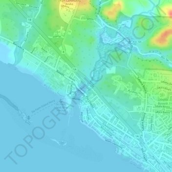
Name: Spaans Lagoen topographic map, elevation, terrain.
Location: Spaans Lagoen, Pos Chikito, Aruba, Nederland (12.46885 -69.97701 12.48016 -69.97115)
Average elevation: 11 m
Minimum elevation: -1 m
Maximum elevation: 56 m