
Kockelscheuer topographic map
Interactive map
Click on the map to display elevation.
About this map
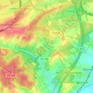
Name: Kockelscheuer topographic map, elevation, terrain.
Location: Kockelscheuer, Roeser, Canton Esch-sur-Alzette, 1899, Luxembourg (49.53539 6.08569 49.57539 6.12569)
Average elevation: 299 m
Minimum elevation: 262 m
Maximum elevation: 336 m