
Río Grande topographic map
Interactive map
Click on the map to display elevation.
About this map
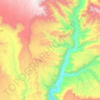
Name: Río Grande topographic map, elevation, terrain.
Location: Río Grande, Provincia de Condesuyos, Arequipa, Perú (-16.02020 -73.26244 -15.66376 -72.95746)
Average elevation: 1,775 m
Minimum elevation: 357 m
Maximum elevation: 3,542 m