
Ain El Hadjar topographic map
Interactive map
Click on the map to display elevation.
About this map
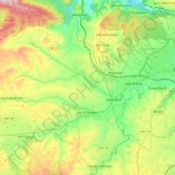
Name: Ain El Hadjar topographic map, elevation, terrain.
Location: Ain El Hadjar, Aïn Bessem District, Bouira, 10031, Algeria (36.29004 3.71815 36.42881 3.85063)
Average elevation: 632 m
Minimum elevation: 385 m
Maximum elevation: 1,031 m