
Chulmleigh topographic map
Interactive map
Click on the map to display elevation.
About this map
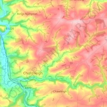
Name: Chulmleigh topographic map, elevation, terrain.
Location: Chulmleigh, North Devon, Devon, England, United Kingdom (50.90121 -3.90872 50.95473 -3.77647)
Average elevation: 145 m
Minimum elevation: 38 m
Maximum elevation: 230 m
Devon trails, hiking, mountain biking, running and outdoor activities
Other topographic maps
Click on a map to view its topography, its elevation and its terrain.