
Surobi topographic map
Interactive map
Click on the map to display elevation.
About this map
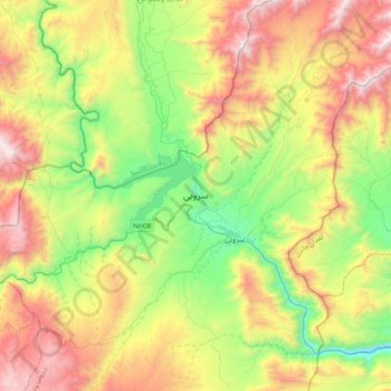
Name: Surobi topographic map, elevation, terrain.
Location: Surobi, Kabul Province, Afghanistan (34.46785 69.55770 34.78785 69.87770)
Average elevation: 1,520 m
Minimum elevation: 774 m
Maximum elevation: 2,612 m