
College Hill topographic map
Interactive map
Click on the map to display elevation.
About this map
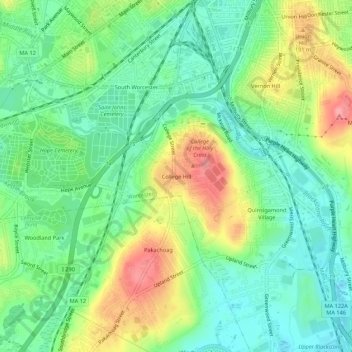
Name: College Hill topographic map, elevation, terrain.
Average elevation: 158 m
Minimum elevation: 121 m
Maximum elevation: 221 m
Other topographic maps
Click on a map to view its topography, its elevation and its terrain.
Institute Park
United States > Massachusetts > Worcester County > Worcester > Belmont Hill
Average elevation: 170 m
Hadwen Arboretum
United States > Massachusetts > Worcester County > Worcester > Main South
Average elevation: 165 m