Geolocate

Edson topographic map

Click on the map to display elevation.

About this map

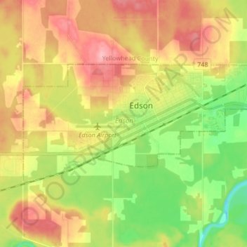
Name: Edson topographic map, elevation, terrain.

Location: Edson, Alberta, Canada (53.56066 -116.50735 53.59919 -116.37244)

Average elevation: 928 m

Minimum elevation: 869 m

Maximum elevation: 988 m

Gear up for your next adventure:

🧣Neck Gaiters - Versatile protection against wind and cold
🧗Locking Carabiners - Secure gear to your pack or for light technical use
GPS Outdoor Watches - Watches with GPS tracking for hiking and exploration
🔋Solar Chargers - Eco-friendly charging solutions for outdoor use
🔋Lithium AA Batteries - Long-lasting power that performs well in cold mountain weather

As an Amazon Associate, this site earns from qualifying purchases at no extra cost to you.