
Epworth topographic map
Interactive map
Click on the map to display elevation.
About this map
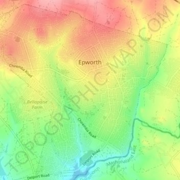
Name: Epworth topographic map, elevation, terrain.
Location: Epworth, Harare Province, Zimbabwe (-17.92890 31.11802 -17.86683 31.18613)
Average elevation: 1,502 m
Minimum elevation: 1,452 m
Maximum elevation: 1,555 m