
Tetto Bertola topographic map
Interactive map
Click on the map to display elevation.
About this map
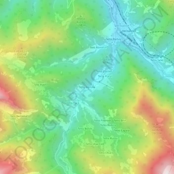
Name: Tetto Bertola topographic map, elevation, terrain.
Location: Tetto Bertola, Vernante, Coni, Piémont, 12019, Italie (44.21087 7.50265 44.25087 7.54265)
Average elevation: 1,139 m
Minimum elevation: 769 m
Maximum elevation: 1,836 m