
Aroyo topographic map
Interactive map
Click on the map to display elevation.
About this map
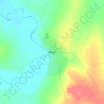
Name: Aroyo topographic map, elevation, terrain.
Location: Aroyo, Northern Bahr el Ghazal, South Sudan (8.62846 26.81362 8.70846 26.89362)
Average elevation: 477 m
Minimum elevation: 455 m
Maximum elevation: 520 m