
Gwanchang-ri topographic map
Interactive map
Click on the map to display elevation.
About this map
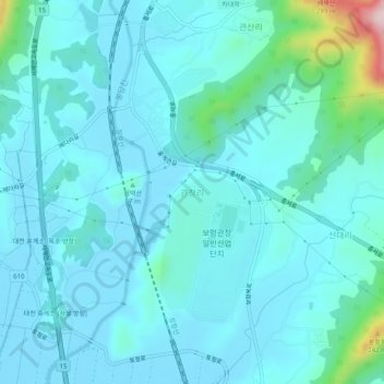
Name: Gwanchang-ri topographic map, elevation, terrain.
Location: Gwanchang-ri, Boryeong-si, 33415, South Korea (36.36275 126.55525 36.40275 126.59525)
Average elevation: 41 m
Minimum elevation: -1 m
Maximum elevation: 330 m