
Matheson Island topographic map
Interactive map
Click on the map to display elevation.
About this map
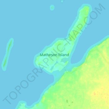
Name: Matheson Island topographic map, elevation, terrain.
Location: Matheson Island, Manitoba, Canada (51.68256 -96.99393 51.76256 -96.91393)
Average elevation: 218 m
Minimum elevation: 215 m
Maximum elevation: 232 m