
Tuliman topographic map
Interactive map
Click on the map to display elevation.
About this map
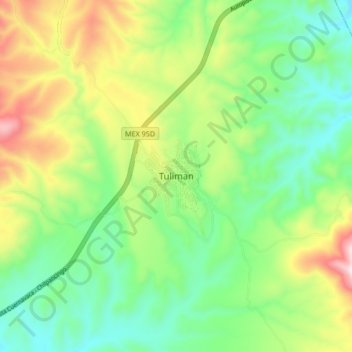
Name: Tuliman topographic map, elevation, terrain.
Location: Tuliman, Huitzuco de los Figueroa, Guerrero, México (17.98907 -99.29618 18.06907 -99.21618)
Average elevation: 1,095 m
Minimum elevation: 878 m
Maximum elevation: 1,497 m