
Col du Manet topographic map
Interactive map
Click on the map to display elevation.
About this map
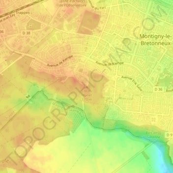
Name: Col du Manet topographic map, elevation, terrain.
Average elevation: 165 m
Minimum elevation: 137 m
Maximum elevation: 175 m
Other topographic maps
Click on a map to view its topography, its elevation and its terrain.
Montigny-le-Bretonneux
France > Yvelines > Montigny-le-Bretonneux > Montigny-le-Bretonneux
Montigny-le-Bretonneux, Versailles, Yvelines, France métropolitaine, 78180, France
Average elevation: 159 m