
Sukaasih topographic map
Interactive map
Click on the map to display elevation.
About this map
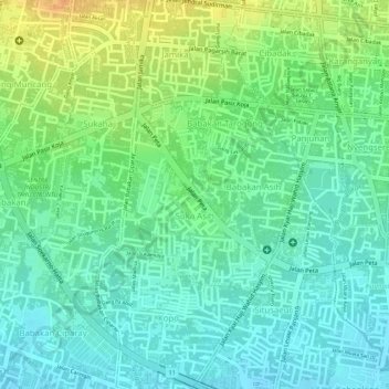
Name: Sukaasih topographic map, elevation, terrain.
Location: Sukaasih, Bojongloa Kaler, Bandung, West Java, Indonesia (-6.93906 107.58420 -6.92590 107.59515)
Average elevation: 700 m
Minimum elevation: 685 m
Maximum elevation: 724 m