
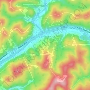
Clendenin topographic map
Interactive map
Click on the map to display elevation.
About this map
Name: Clendenin topographic map, elevation, terrain.
Location: Clendenin, Kanawha County, West Virginia, United States (38.47662 -81.37038 38.49503 -81.33110)
Average elevation: 262 m
Minimum elevation: 176 m
Maximum elevation: 365 m