
八雲町 topographic map
Interactive map
Click on the map to display elevation.
About this map
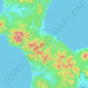
Name: 八雲町 topographic map, elevation, terrain.
Location: 八雲町, 二海郡, 渡島総合振興局, Präfektur Hokkaido, Japan (41.91135 139.73139 42.39495 140.63121)
Average elevation: 149 m
Minimum elevation: -1 m
Maximum elevation: 1,262 m