
L'Argens topographic map
Interactive map
Click on the map to display elevation.
About this map
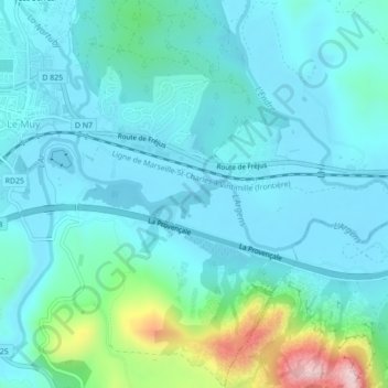
Name: L'Argens topographic map, elevation, terrain.
Average elevation: 66 m
Minimum elevation: 11 m
Maximum elevation: 342 m
Other topographic maps
Click on a map to view its topography, its elevation and its terrain.
Les Serres
France > Provence-Alpes-Côte d'Azur > Var > Le Muy
Les Serres, Le Muy, Draguignan, Var, Provence-Alpes-Côte d'Azur, France métropolitaine, 83490, France
Average elevation: 48 m