
Hurden topographic map
Interactive map
Click on the map to display elevation.
About this map
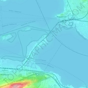
Name: Hurden topographic map, elevation, terrain.
Location: Hurden, Pfäffikon, Freienbach, Höfe, Schwyz, 8808, Schweiz (47.19425 8.78435 47.23425 8.82435)
Average elevation: 411 m
Minimum elevation: 402 m
Maximum elevation: 550 m
Historisches Luftbild von 1924, aufgenommen aus 200 Metern Höhe von Walter Mittelholzer