
Romita topographic map
Interactive map
Click on the map to display elevation.
About this map
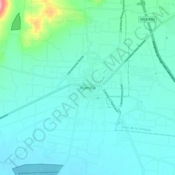
Name: Romita topographic map, elevation, terrain.
Location: Romita, Guanajuato, 36200, México (20.83097 -101.55778 20.91097 -101.47778)
Average elevation: 1,755 m
Minimum elevation: 1,738 m
Maximum elevation: 1,858 m