
Pelion topographic map
Interactive map
Click on the map to display elevation.
About this map
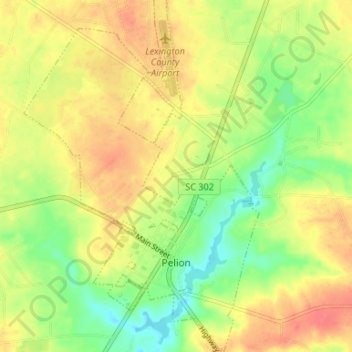
Name: Pelion topographic map, elevation, terrain.
Average elevation: 128 m
Minimum elevation: 98 m
Maximum elevation: 152 m
Other topographic maps
Click on a map to view its topography, its elevation and its terrain.
Leesville
United States > South Carolina > Lexington County > Batesburg-Leesville > Leesville
Average elevation: 190 m