
Gāguļi topographic map
Interactive map
Click on the map to display elevation.
About this map
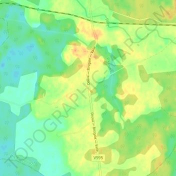
Name: Gāguļi topographic map, elevation, terrain.
Location: Gāguļi, Birzgales pagasts, Ogres novads, Zemgale, Latvia (56.54583 24.71361 56.58583 24.75361)
Average elevation: 50 m
Minimum elevation: 36 m
Maximum elevation: 65 m