
Rochelle topographic map
Interactive map
Click on the map to display elevation.
About this map
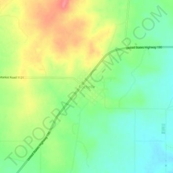
Name: Rochelle topographic map, elevation, terrain.
Location: Rochelle, McCulloch County, Texas, 76872, United States (31.20415 -99.22994 31.24415 -99.18994)
Average elevation: 541 m
Minimum elevation: 508 m
Maximum elevation: 587 m