
Harras topographic map
Interactive map
Click on the map to display elevation.
About this map
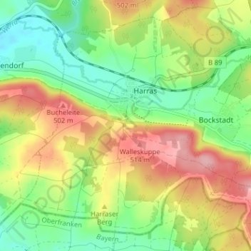
Name: Harras topographic map, elevation, terrain.
Average elevation: 448 m
Minimum elevation: 391 m
Maximum elevation: 519 m
Other topographic maps
Click on a map to view its topography, its elevation and its terrain.
Saargrund
Deutschland > Thüringen > Eisfeld > Saargrund
Saargrund, Eisfeld, Landkreis Hildburghausen, Thüringen, 98678, Deutschland
Average elevation: 692 m