
Чергали topographic map
Interactive map
Click on the map to display elevation.
About this map
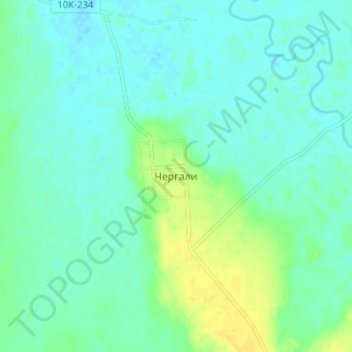
Name: Чергали topographic map, elevation, terrain.
Average elevation: 200 m
Minimum elevation: 193 m
Maximum elevation: 214 m
Other topographic maps
Click on a map to view its topography, its elevation and its terrain.
Хохлатское
Russland > Oblast Amur > Ромненский муниципальный округ
Хохлатское, Ромненский муниципальный округ, Oblast Amur, Föderationskreis Ferner Osten, Russland
Average elevation: 196 m