
Kandiege topographic map
Interactive map
Click on the map to display elevation.
About this map
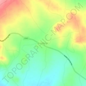
Name: Kandiege topographic map, elevation, terrain.
Location: Kandiege, Homa Bay, Nyanza, Kenya (-0.44972 34.53400 -0.40972 34.57400)
Average elevation: 1,191 m
Minimum elevation: 1,148 m
Maximum elevation: 1,248 m