
Besou topographic map
Interactive map
Click on the map to display elevation.
About this map
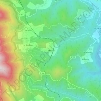
Name: Besou topographic map, elevation, terrain.
Average elevation: 598 m
Minimum elevation: 357 m
Maximum elevation: 1,117 m
Other topographic maps
Click on a map to view its topography, its elevation and its terrain.
La Bise Basse
France > Occitanie > Gard > Concoules
La Bise Basse, Concoules, Alès, Gard, Occitanie, France métropolitaine, 30450, France
Average elevation: 736 m