
Kemuning Sari Kidul topographic map
Interactive map
Click on the map to display elevation.
About this map
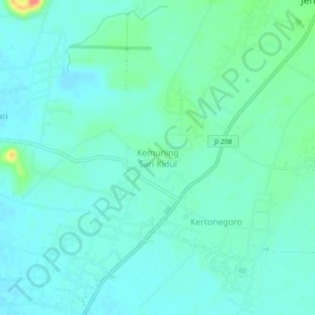
Name: Kemuning Sari Kidul topographic map, elevation, terrain.
Location: Kemuning Sari Kidul, Jember, 68171, Indonesia (-8.30728 113.60678 -8.26728 113.64678)
Average elevation: 45 m
Minimum elevation: 34 m
Maximum elevation: 90 m