Geolocate

4h topographic map

Click on the map to display elevation.

About this map

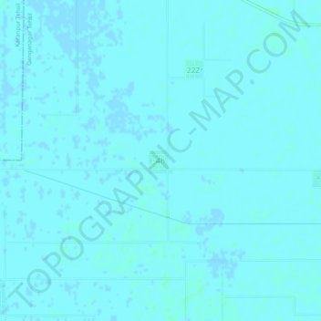
Name: 4h topographic map, elevation, terrain.

Location: 4h, Ganganagar Tehsil, Sri Ganganagar, Rajasthan, India (29.85626 73.67730 29.89626 73.71730)

Average elevation: 171 m

Minimum elevation: 170 m

Maximum elevation: 173 m

Gear up for your next adventure:

🔋Rechargeable Batteries - Eco-friendly power for headlamps and older GPS units
🗺️Ordnance Survey Maps - Official UK maps for walking and outdoor activities
🗺️Scratch-off Peak Maps - Track your progress climbing Munros or Wainwrights
👟Women's Trail Running Shoes - Agile footwear for fell running and technical trails
👟Men's Trail Running Shoes - Lightweight grip for fast movement over topographic contours

As an Amazon Associate, this site earns from qualifying purchases at no extra cost to you.