
雄村 topographic map
Interactive map
Click on the map to display elevation.
About this map
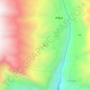
Name: 雄村 topographic map, elevation, terrain.
Location: 雄村, 吉隆县, 日喀则市, 西藏自治区, 中国 (28.34084 85.41865 28.38084 85.45865)
Average elevation: 3,289 m
Minimum elevation: 2,508 m
Maximum elevation: 4,099 m
Other topographic maps
Click on a map to view its topography, its elevation and its terrain.