
Bhadai topographic map
Interactive map
Click on the map to display elevation.
About this map
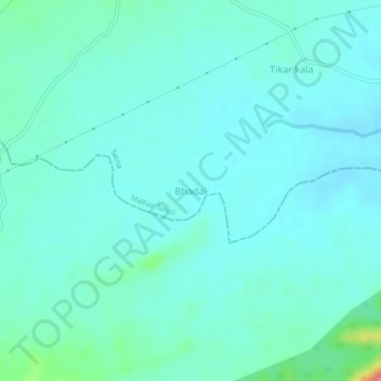
Name: Bhadai topographic map, elevation, terrain.
Location: Bhadai, Maihar Tahsil, Satna, Madhya Pradesh, India (24.04630 80.73263 24.08630 80.77263)
Average elevation: 367 m
Minimum elevation: 353 m
Maximum elevation: 439 m
Other topographic maps
Click on a map to view its topography, its elevation and its terrain.