
Nabukavesi topographic map
Interactive map
Click on the map to display elevation.
About this map
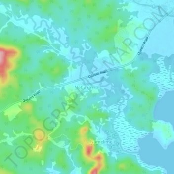
Name: Nabukavesi topographic map, elevation, terrain.
Location: Nabukavesi, Namosi, Central, Fiji (-18.18106 178.21861 -18.14106 178.25861)
Average elevation: 32 m
Minimum elevation: -1 m
Maximum elevation: 172 m