
King Faisal Military City topographic map
Interactive map
Click on the map to display elevation.
About this map
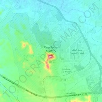
Name: King Faisal Military City topographic map, elevation, terrain.
Average elevation: 2,086 m
Minimum elevation: 2,027 m
Maximum elevation: 2,347 m