
Othmarsingen topographic map
Interactive map
Click on the map to display elevation.
About this map
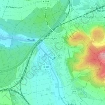
Name: Othmarsingen topographic map, elevation, terrain.
Location: Othmarsingen, Bezirk Lenzburg, Aargau, 5504, Switzerland (47.39114 8.19769 47.41473 8.23451)
Average elevation: 432 m
Minimum elevation: 385 m
Maximum elevation: 567 m
Other topographic maps
Click on a map to view its topography, its elevation and its terrain.