
Agua De Dios topographic map
Interactive map
Click on the map to display elevation.
About this map
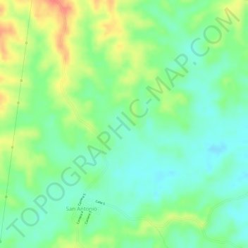
Name: Agua De Dios topographic map, elevation, terrain.
Location: Agua De Dios, San Antonio, Sahagún, Sabanas, Córdoba, Colombia (8.65187 -75.45953 8.67187 -75.43953)
Average elevation: 114 m
Minimum elevation: 90 m
Maximum elevation: 146 m