
Studence topographic map
Interactive map
Click on the map to display elevation.
About this map
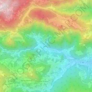
Name: Studence topographic map, elevation, terrain.
Location: Studence, Svibno, Radeče, 1433, Slovenia (46.05061 15.08856 46.09061 15.12856)
Average elevation: 587 m
Minimum elevation: 256 m
Maximum elevation: 1,122 m