
Delwijnen topographic map
Interactive map
Click on the map to display elevation.
About this map
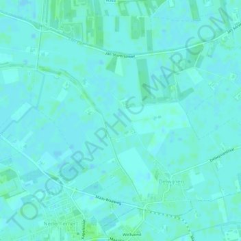
Name: Delwijnen topographic map, elevation, terrain.
Location: Delwijnen, Zaltbommel, Geldern, Niederlande (51.76555 5.15898 51.78974 5.20859)
Average elevation: 2 m
Minimum elevation: -1 m
Maximum elevation: 7 m
Other topographic maps
Click on a map to view its topography, its elevation and its terrain.
Nederhemert
Niederlande > Geldern > Zaltbommel
Nederhemert, Zaltbommel, Geldern, Niederlande
Average elevation: 3 m
Bruchem
Niederlande > Geldern > Zaltbommel
Bruchem, Zaltbommel, Geldern, Niederlande
Average elevation: 3 m