
Otis Park topographic map
Interactive map
Click on the map to display elevation.
About this map
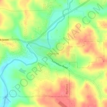
Name: Otis Park topographic map, elevation, terrain.
Location: Otis Park, Bedford, Lawrence County, Indiana, United States (38.85398 -86.46299 38.86156 -86.44722)
Average elevation: 186 m
Minimum elevation: 152 m
Maximum elevation: 221 m