
Pointe Ronde topographic map
Interactive map
Click on the map to display elevation.
About this map
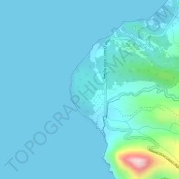
Name: Pointe Ronde topographic map, elevation, terrain.
Location: Pointe Ronde, Saint John Parish, Dominica (15.52734 -61.48700 15.54734 -61.46700)
Average elevation: 36 m
Minimum elevation: 0 m
Maximum elevation: 330 m