
Walna topographic map
Interactive map
Click on the map to display elevation.
About this map
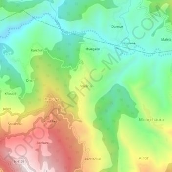
Name: Walna topographic map, elevation, terrain.
Location: Walna, Ranikhet, Almora, Uttarakhand, 263645, India (29.66242 79.40356 29.70242 79.44356)
Average elevation: 1,271 m
Minimum elevation: 962 m
Maximum elevation: 1,762 m