
Saint-Benoît topographic map
Interactive map
Click on the map to display elevation.
About this map
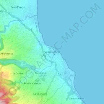
Name: Saint-Benoît topographic map, elevation, terrain.
Location: Saint-Benoît, Réunion, 97470, France (-21.07319 55.67315 -20.99319 55.75315)
Average elevation: 50 m
Minimum elevation: 0 m
Maximum elevation: 456 m